Expanding our evidence on nutrient pollution of the water environment
Nitrogen and phosphorus are found in the natural world and are important nutrients for plant and animal growth.
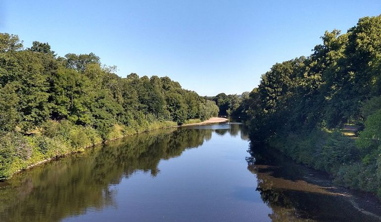
Human activities and development can increase the amount of nutrients entering our rivers, lakes and coastal waters. This can lead to excessive growth of algae and other plant life, which in turn damages the natural ecology and characteristic of water habitats. These negative impacts are often known as eutrophication.
Understanding sources of nutrients from rural land use
Nitrogen and phosphorus are essential nutrients for the production of healthy crops and livestock. Farmers have for many years managed the use of nutrients on their farms, so as to increase the production of food. For example by gathering and applying farm yard manures to crops or by using artificial (inorganic) fertilizers. However, there is always some loss of nutrients from food production to the environment, either to the air, soil or water.
In April 2021, new regulations came into force in Wales to reduce the impact of agricultural practices on our environment and waters.
The Water Resources (Control of Agricultural Pollution Regulations) set new rules that farmers must comply with, which are regulated by Welsh Government and Natural Resources Wales.
These include the spreading of nitrogen fertiliser, and the requirement for farmers to undertake nutrient management planning and record keeping.
Following the introduction of the new regulations, the Welsh Government asked us to undertake a review of nutrient concentrations in Wales’s waters.
Previously, this assessment was undertaken by NRW as part of the Nitrate Vulnerable Zone process.
It compliments NRW’s evidence base for water quality, which includes our River Basin Management Plans and Special Area of Conservation compliance reports.
The Wales Nutrient Review
We wanted the results of the first Wales Nutrient Review to be comparable to previous assessments of waters impacted by nutrients from agricultural sources, so our assessment follows largely the same methodology as used in previous Nitrate Vulnerable Zone reviews.
However, we have introduced phosphorus concentrations to our Nutrient Review, to build upon our existing evidence on phosphorus pollution. We have also updated the land use data set to increase the land use types and include both agricultural and urban land use.
Rivers and groundwaters
To undertake a Wales-wide assessment of nutrient concentrations from land use sources, data was obtained from our own water quality monitoring sources, as well as land use data from external sources including the Centre for Ecology, Hydrology, the Copernicus Land Monitoring Service, the ADAS Farmscoper model and the Lerner (2000) component model.

Summary of land use modelling method
Water quality analysis was used to map current (2019) and future (2031) nitrate and phosphate concentrations. This was then combined with modelling of nutrient leaching from different land uses to provide a series of spatial datasets cumulating in a nutrient risk maps for Wales. For each 1km grid cells across Wales. these risk maps give a score based on the evidence that water quality exceeded or was likely to exceed nitrate and phosphate water quality criteria. Areas with higher scores indicate potential risk to surface water from nitrate and/or phosphate.
Unfortunately our monitoring was severely disrupted during 2020 and 2021 due to the Covid-19 pandemic, therefore 2019 was selected as the most recent complete dataset.


In addition to water quality and risk maps, GIS layers showing predicted leachate concentrations, and source apportionment maps showing the land-based sources of nitrogen and phosphorous and their relative contribution to the nutrient load of each water body are available.
Lakes
To assess eutrophication in lakes, water quality data was combined with ecological symptoms of damage.
Mean total nitrogen and mean total phosphorus were calculated for lake monitoring points between 2014-2019.
An NRW tool, known as weight of evidence, uses the outcomes of core Water Framework Directive (WFD) elements to determine the likelihood of eutrophication.
Land use data was used to model the potential amount of nitrogen and phosphorus loading to lakes, through their contributing catchment area, from different land uses including diffuse urban sources.
As with the surface and groundwater assessments, the loading modelling can be viewed as GIS layers at a 5m grid square across Wales.

Nutrient Review Dashboard
The outputs from the review (data collection, processing and assessment) mainly comprise a series of spatial datasets. These datasets are intended to provide a national baseline of nutrient water quality, potential land-based pollution sources and evidence to inform future nutrient reduction efforts.
This dashboard provides access to these individual spatial datasets, meaning the detailed results can be examined at a national, catchment and sub-catchment scale.
Summary reports have been produced for each water types and detailed information on the methods full methodology reports are available on request.
You can view our Nutrient Review Dashboard via our GIS portal.
Using the right model for the right purpose
This review is focussed on pollution from land management under The Water Resources (Control of Agricultural Pollution Regulations), therefore it does not consider contributions to water pollution from water companies or other sources.
Water companies have used a different type of model to understand their contribution to phosphorus, known as SAGIS modelling. This has recently been undertaken to look at individual catchments for our Special Area of Conservation rivers and is available on the Dŵr Cymru Welsh Water website.
This uses monitored inputs from Water Company assets and helps them to assess and determine any improvements which may be required to wastewater treatment works or other assets.
For this review, we wanted data to be comparable with previous assessments of nutrient pollution from agricultural sources, so we used comparable methodology to previous Nitrate Vulnerable Zone reviews.
The model used for the Nutrients Review is primarily focused on looking at the risk of land based, diffuse nutrient pollution across the whole of Wales. It uses water quality data, extrapolated water quality data and nutrient leachate models based on land use.
Unfortunately there is currently no ‘one size fits all’ model. Some models are better suited to looking at the wider picture, while others suit catchment or sub-catchment scale assessments.
In the future, where data and technology is available to us, we will look to model and assess all inputs to the environment to better address the pressures impacting our waters.
Targeting future efforts to reduce nutrient pollution
As Wales’s environmental regulator, we’re playing our full part in working to prevent pollution across the industries we regulate.
The Wales Nutrient Review provides important evidence to help our teams to help us target our efforts and interventions. There are over 100 layers within the GIS dashboard, which will allow our officers to identify nutrient hotspots and areas of concern, then delve deeper into the contributing factors within the catchment.
It will support our new Control of Agricultural Pollution Regulations team, who plan to inspect 800 farms across Wales this year targeting high risk agricultural activities.
The challenges facing our waters are complex. Climate change, a growing population and increased urban and rural development are putting increased pressure on our waters.
If we want to see tangible water quality improvements for ourselves and future generations, all sectors must play their part in reducing the impact of their activities and reducing sources of pollution.
In recent years, collaborative forums have been established to tackle the issue, including Nutrient Management Boards and Welsh Government-led phosphate summits to accelerate urgent action to protect our Special Area of Conservation Rivers.